Build note
Route 20 Road Trip launch and the Route 20 anniversary
Why the site launched, where the guide is strongest, and why Route 20's long national story still matters.
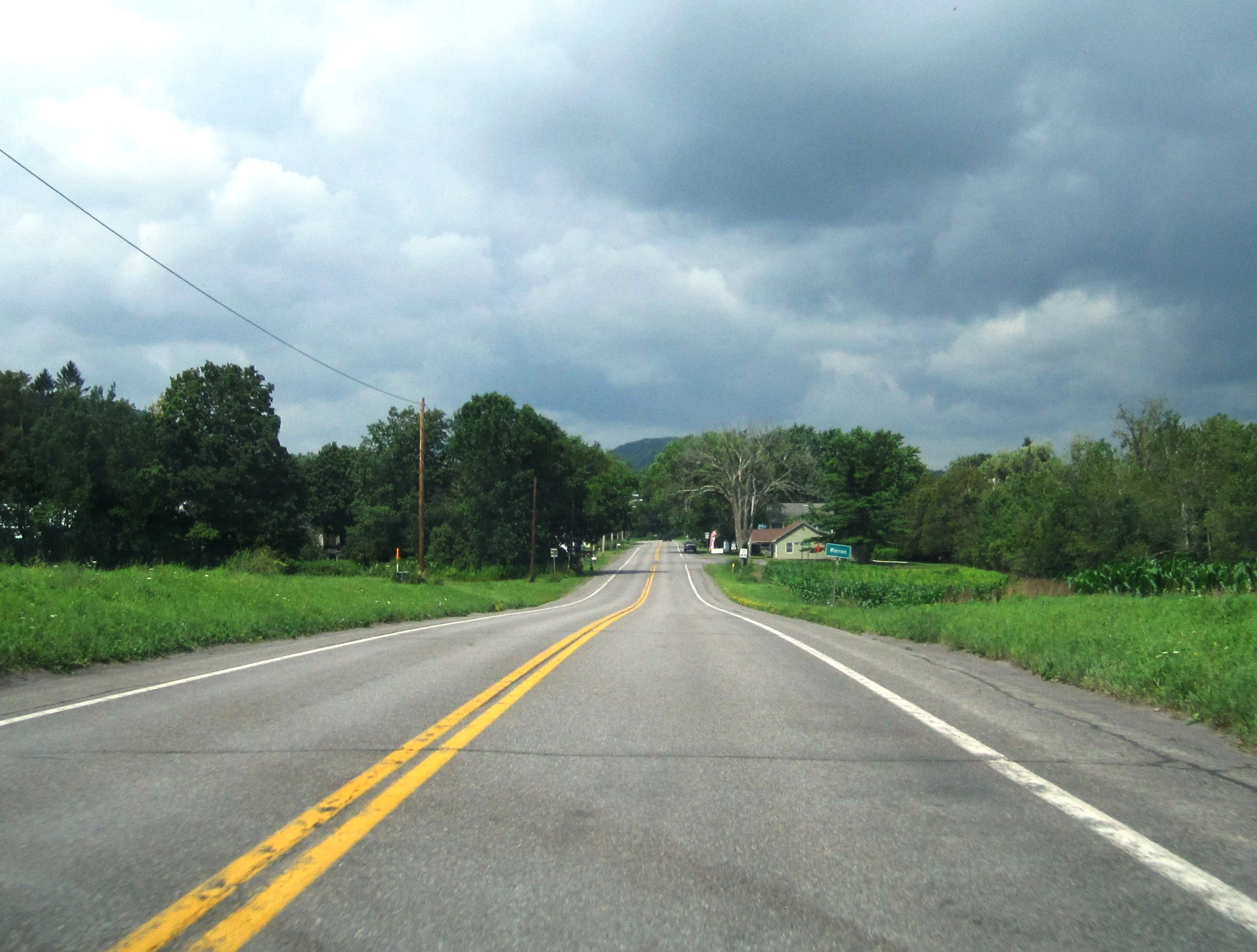
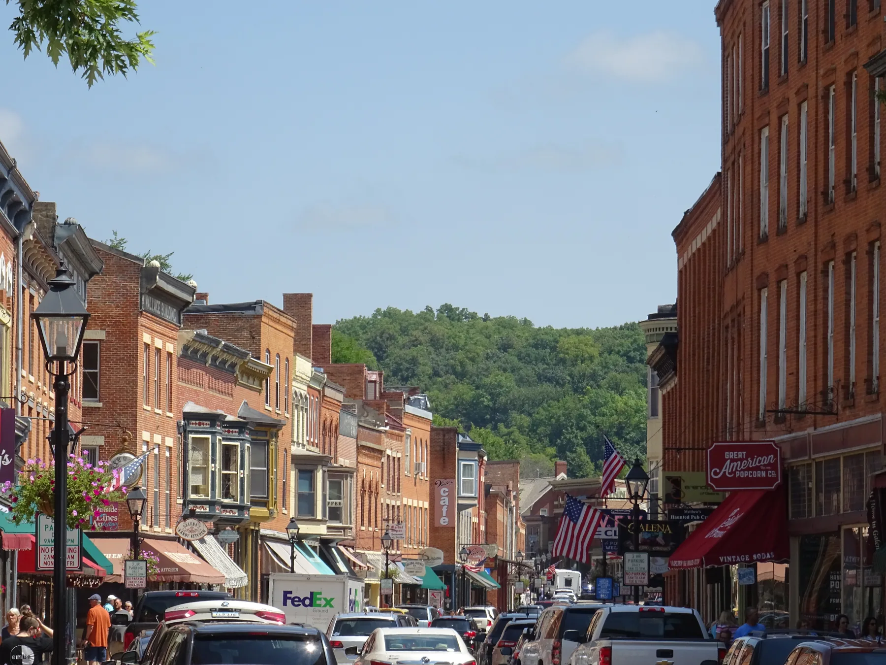
Route 20 Road Trip is published at route20roadtrip.com.
That does not mean the whole route is finished. It means the site is already organized well enough to help people start planning selected stretches of U.S. Route 20 right now while more coverage comes online.
What this means: the site is public, usable, and worth indexing now, while guide coverage continues to expand in practical stretches instead of pretending the whole route is already complete.
Why launch now?
Route 20 is too large to cover all at once without turning a travel guide into sprawl. Launching now is the right move for a corridor this big because it lets the site be useful early while the guide grows in practical stretches.
Instead of pretending the whole corridor is complete, the site shows where coverage is strongest now and where the best starting points are.
Where the guide is strongest
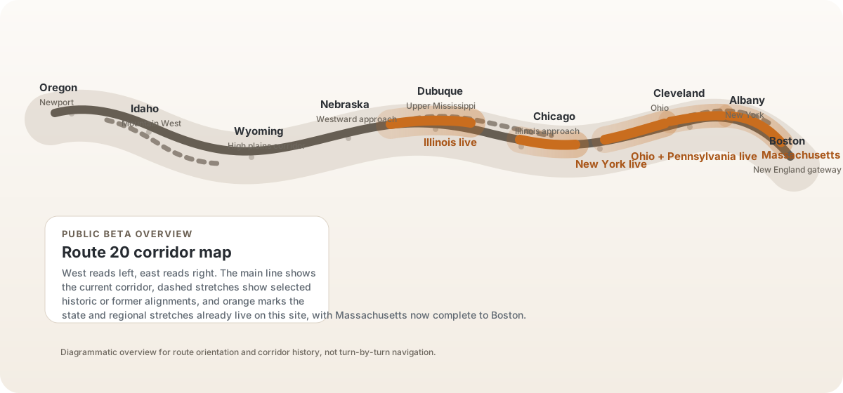
The guide is strongest right now in Illinois, New York, Ohio, Pennsylvania, and Massachusetts, with supporting corridor framing that helps the route read more clearly east and west of the covered stretches.
- state gateway pages for the strongest current corridor starts
- segment pages that break the drive into usable pieces
- place pages that help decide which stops deserve real time
- route-shaped weekend and sampler pages for faster trip planning
- a route overview map that shows traveler choice coverage inside the broader Route 20 corridor
Why the anniversary matters
US 20 is the longest current U.S. highway. Its designation turns 100 in 2026, but the present Newport endpoint was added later: the final 1926 route stopped at Yellowstone, and later extensions created the modern coast-to-coast extent. The route designation also does not continue through Yellowstone National Park.
For the fuller historical frame and current planning paths, use the US Route 20 Centennial guide.
That is part of what makes the route interesting. It is both one highway and a long chain of very different local travel worlds. A good guide has to respect both facts at the same time.
That is also why an anniversary moment feels like a good time to launch. Route 20 already has the historical weight. What has been missing is a calmer, more usable public-facing planning layer that treats the route as something people can actually travel in pieces.
How to use the site now
The easiest first clicks are still the same:
- start with a state page if you need the broad frame
- use a segment when you want one connected drive section
- use a place page when you are deciding whether a town is worth the stop
- use a trip page when you want a weekend or sampler without building the pace yourself
- use the route overview when you need the whole corridor back in view
That gives the site a practical job even while wider coverage is still growing.
Next: browse the state gateways, open the route-shaped starts, or use the route overview to see where the guide is strongest now.