On-route place guide
Burns
Plan a Route 20 stop in Burns for high-desert history, wildlife side trips, road-trip logistics, and an eastern Oregon overnight.
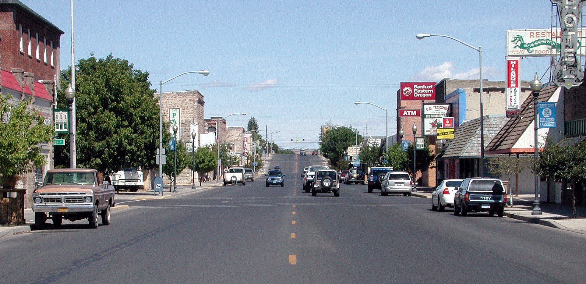
Burns
On Route 20
Burns is the essential high-desert reset between Vale and Bend. Local history, broad traveler services, and access to major wildlife and desert landscapes make the Burns-Hines area useful as both a practical Route 20 overnight and a base for a separate southeastern Oregon outing.
Why stop here
The distances on either side of Burns change the value of the stop. It is not merely another town in a close chain; it is where travelers can refuel, eat, check conditions, and decide whether to continue or stop before another long, exposed section.
Burns also provides the services that remote regional attractions do not. Malheur National Wildlife Refuge, Steens Mountain, the Alvord Desert, and Diamond Craters can justify a much longer stay, but none should be treated as a quick roadside extension of a Route 20 through-day.
What kind of stop it is
Best described as an overnight reset or side-trip base.
A two-hour stop can cover lunch, supplies, and one local-history choice. Stay overnight to split the Vale-to-Bend crossing. Add another night when birding, volcanic landscapes, Steens Mountain, or the Alvord Desert is the actual purpose of the visit.
Choose the shape of the visit
- Local history: the Harney County Historical Museum gives an in-town introduction to the region’s settlement, ranching, transportation, and community stories. Confirm current days and hours before relying on it.
- A simple town reset: downtown Burns and neighboring Hines provide food, lodging, parks, and everyday services without requiring another long drive. This is the right choice when the corridor itself is already the day’s main experience.
- Wildlife and birding: Malheur National Wildlife Refuge headquarters is south of Burns, not on Route 20. Its visitor facilities, overlooks, designated routes, and birding opportunities require a planned side trip; allow at least a half day and check current road and access information.
- High-desert geology: Diamond Craters presents a concentrated volcanic landscape but lies well south of the corridor and has very limited amenities. It belongs in a prepared regional day, not between Burns and Bend on a tight schedule.
- The big southeastern Oregon landscapes: Steens Mountain and the Alvord Desert are farther commitments with seasonal, gravel-road, weather, water, and communications considerations. Make Burns the base and plan them independently.
Practical planning
Handle fuel and water in Burns even when the vehicle does not seem low. Cell service can be unreliable in the surrounding high desert, and heat, cold, smoke, snow, wind, and wildfire restrictions can change the character of a drive quickly.
Do not assume every mapped rest area, campground, or remote road is open and fully serviced. Check Oregon road conditions, land-manager alerts, fire restrictions, refuge information, and seasonal access before departure. Carry offline directions for any side trip and avoid letting a remote outing determine the success of the onward Route 20 day.
Route 20 planning notes
Traveling west, Burns is the main decision point between Vale and Bend. Overnight here when the state-line day has already been long; continue only when daylight, weather, fuel, and driver energy all support the remaining distance.
Traveling east, Burns is the last strong reset before the long run toward Vale. It anchors the middle of the Vale to Bend Route 20 Weekend, but a major refuge or desert side trip should add time rather than compete with the cross-state drive.
What it pairs with
Burns pairs best with Vale, Bend, the Vale, Burns, and Bend segment, the Vale to Bend Route 20 Weekend, and the broader Oregon state page.