On-route place guide
Iowa Falls
Bridge town between the first Iowa backbone and the stronger western Iowa half.
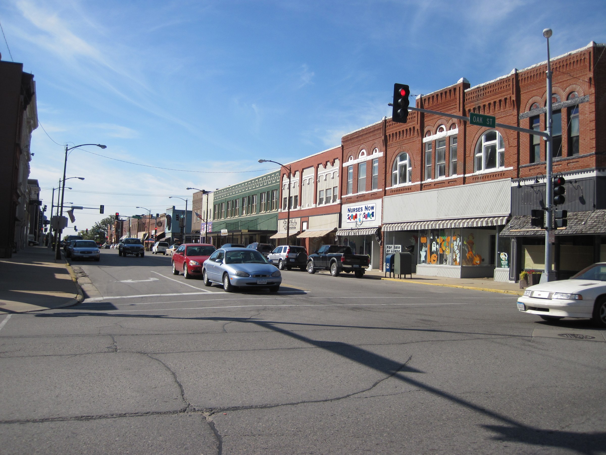
Iowa Falls
On Route 20
Iowa Falls is the bridge town between the first Iowa backbone and the stronger western Iowa half. It is one of the places that turns the Iowa crossing into a clear east-to-west progression.
Why this stop matters on Route 20
Iowa Falls matters because it sits between the east-central Iowa chain and the more serviceable west side of the state. The town functions as a bridge, which is why the page is useful even without a big destination stop.
That bridge role gives the route shape. It helps readers understand that the corridor is not just a list of towns, but a sequence that moves from one Iowa backbone into another.
Best use on a Route 20 trip
Use Iowa Falls as a pacing stop on a longer Iowa day, especially if you are moving between Waterloo and Fort Dodge. It is a good place to slow the trip down, check your progress, and decide whether the next leg should be short or long.
The page works best when it stays honest about scale. Iowa Falls is important because it keeps the route flowing, not because it needs to become a headline destination.
How to plan the stop
Treat Iowa Falls as a bridge-town pause and a planning point. The notes here support road trip planning, which fits the way this part of the Iowa corridor actually works.
That makes the page helpful for travelers who want the state to feel continuous. Iowa Falls is the kind of stop that makes the route easier to navigate mentally as well as physically.
Nearby Route 20 context
Iowa Falls pairs best with Waterloo, Fort Dodge, and the Waterloo, Cedar Falls, and Iowa Falls segment.