Drive section
Columbia, Pioneer, and Fayette
Far-western Ohio Route 20 sequence from the rural U.S. 20 and SR 49 junction through Pioneer and Fayette toward Toledo.
Columbia, Pioneer, and Fayette
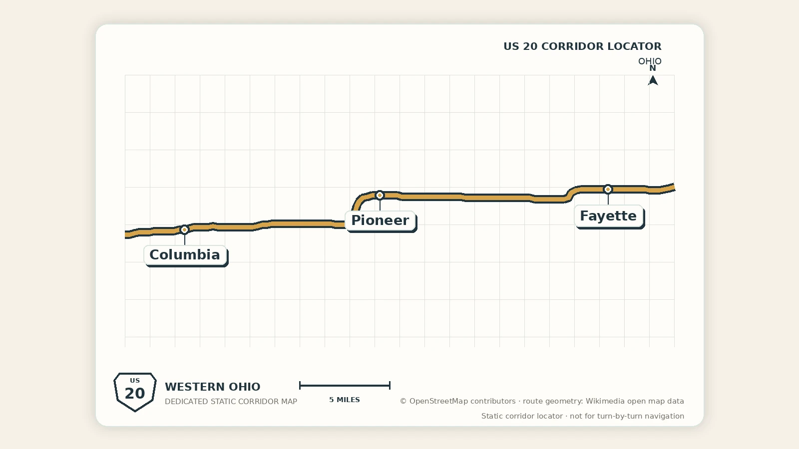
This far-western Ohio segment begins at the rural U.S. 20, State Route 49, and County Road 4 junction near the Indiana line, then moves east through Pioneer and Fayette before the Toledo-area gateway.
Segment map
Segment map
The map begins at the Williams County U.S. 20/SR 49 junction and follows the west-to-east route through Pioneer and Fayette.
Quick orientation
Loading current segment layer signals…
Use the compact rows for optional add-ons, but keep the main crossing focused on the rural state entry and the two village-scale pauses.
Why drive this stretch
Drive this stretch to follow Route 20 literally from the Indiana line into Ohio. Columbia is an orientation point, Pioneer is the first village-scale reset, and Fayette is the best place in the cluster for a meal, park, or longer pause.
Best for
- a direct state-line crossing before Toledo
- small-town food, fuel, and park breaks
- travelers who want the real far-western Ohio sequence
Choose your crossing
Direct crossing
Use Columbia only as the state-entry reference. Stop in Pioneer or Fayette only when the group needs fuel, food, or a short break, then continue toward Sylvania and Toledo.
Small-town crossing
Make a brief Pioneer pause and use Fayette for the main village stop. This version adds local texture without consuming the time needed for Toledo or Maumee.
Western Ohio reset
Skip a dedicated Columbia stop, keep Pioneer short, and give Fayette 45–90 minutes for food, Main Street, or a local park before the Toledo-area approach.
Stop hierarchy
- Columbia: rural junction and orientation point; usually pass through.
- Pioneer: first practical village pause.
- Fayette: strongest village stop and the eastern handoff.
- Toledo and Maumee: first major city, riverfront, services, and overnight choices.
Route and safety notes
- Use the Williams County U.S. 20/SR 49 junction as the western map origin.
- Stop only in legal parking areas, not on rural highway shoulders or at the state-entry intersection.
- Expect agricultural traffic and longer gaps between full-service stops than in the Toledo metro.
- Check current construction and weather before relying on a specific rural intersection or park facility.
Best next pages
Westbound continuation
LaGrange and Angola
Return to northeast Indiana for the courthouse, downtown, Pokagon, and the final substantial stop before Ohio.
Eastbound continuation
Toledo and Maumee Gateway
Continue to the first major Ohio city and river-town planning choices.
State guide
Ohio
Compare this rural entry with the rest of the west-to-east Ohio corridor.