Drive section
Greybull and Cody
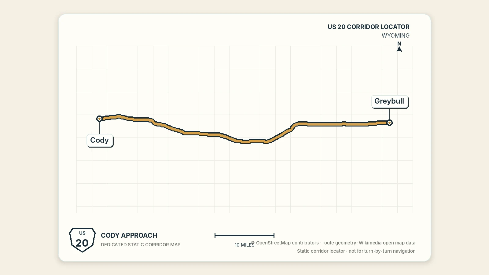
Western Wyoming Route 20 segment linking Greybull to Cody and setting up the scenic Yellowstone approach that continues west from Cody.
Greybull and Cody
This western Wyoming segment uses Greybull as the final Bighorn Basin connector and Cody as the primary base before the scenic Yellowstone approach.
Segment map
This Google map keeps the geography literal. The compact rows below show optional off-route trips and add-on stops without taking over the segment.
Quick orientation
Loading segment details…
These compact rows are optional off-route trips and add-on stops; use the larger map for the full corridor view.
Quick orientation
Why drive this stretch
Drive this stretch when you want to finish the basin crossing at a strong overnight base. Cody adds museums, western history, food, and trip services before the scenic approach continues through Wapiti Valley toward Yellowstone.
Use the short drive to protect Cody time
This is one of the simpler western Wyoming transfers. The road time is modest enough to pair with a Greybull stop or a substantial Cody attraction, but not every museum on both ends.
Westbound, choose between a quick Greybull reset and a longer local-history or aviation stop. Then continue to Cody with enough time to check in, eat, and plan the next day. The Buffalo Bill Center of the West is a major visit; do not squeeze it into the leftover edge of a basin-transfer day.
Eastbound, use Cody for fuel, food, and supplies before leaving the gateway base. Greybull is the first practical junction, followed by the longer basin sequence through Worland and Thermopolis.
Do not attach Yellowstone by default
Reaching Cody does not make the East Entrance a quick extra stop. The Cody–Wapiti–Yellowstone approach deserves a separate half day, and entering the park requires its own road, lodging, and timing plan.
If the day slips, skip the optional Greybull attraction rather than sacrificing a settled Cody arrival. Check Wyoming 511 for wind, winter weather, construction, and smoke before either direction.
Wyoming overview
Wyoming
Use the state page to compare this gateway leg with the full route from Lusk to the Yellowstone boundary.
Use Cody as the gateway base
Cody
Use Cody when you want the clearest western gateway base before the Yellowstone approach.
Use the western Wyoming weekend
Thermopolis to Cody Route 20 Weekend
Use this weekend if you want the simplest western Wyoming outing before adding the Yellowstone approach.