Drive section
Monroeville and Oberlin
Ohio Route 20 segment linking the western-entry chain into the established Oberlin-side corridor.
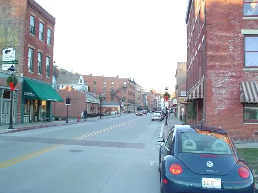
Monroeville and Oberlin
This Route 20 segment works from either direction and helps the Ohio corridor read more cleanly town by town.
Quick orientation
- Western connector town: Monroeville
- Character anchor: Oberlin
- Nearby practical support: Norwalk
- Best for: reinforcing the Ohio corridor without turning it into a full-state sweep
- Trip fit: one longer day inside a bigger Ohio run or part of a compact weekend
- Map ID:
monroeville-oberlin
Segment map
Segment map
This map keeps this Ohio stretch easy to understand without overcomplicating the broader state picture.
Why drive this stretch
Drive this stretch when you want the newly added western-entry chain to merge cleanly into the established Ohio coverage. Monroeville keeps the handoff grounded, while Oberlin remains the clearest character stop on this side of the state.
Best for
- bridge western Ohio into the live Western Reserve pages
- carry the corridor east without a gap between Bellevue country and Oberlin
- use Oberlin as the main linger stop inside a longer Ohio run
Best next pages
Current guide
Norwalk, Oberlin, and Geneva
Continue east if you want the current live Ohio chain beyond the western-entry reinforcement.
Current guide
Perrysburg, Fremont, and Bellevue
Step back if you want the earlier western-entry chain first.
Practical notes
- this segment is meant to strengthen Ohio corridor continuity, not to promise exhaustive state coverage
- keep larger anchors proportional to their Route 20 role so the corridor stays travel-first
- use the Ohio page when you want to compare this stretch to the rest of the current state coverage