On-route place guide
Columbia
Rural western Ohio Route 20 junction near the Indiana line, best used as an orientation point before Pioneer and Fayette.
Columbia
On Route 20
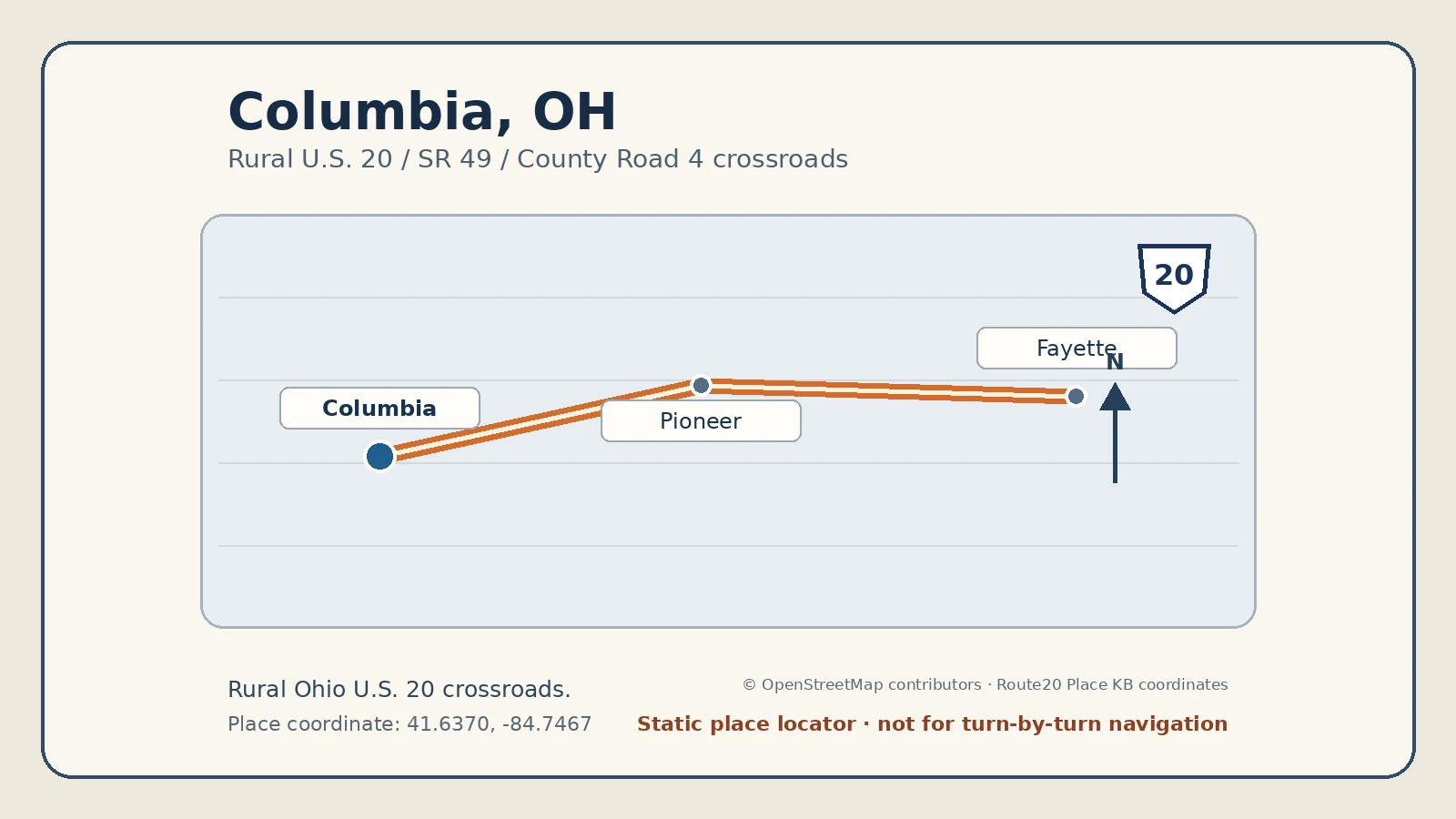
Columbia is the rural western Ohio junction area where U.S. 20 meets State Route 49 and County Road 4 in Williams County. It is the first Ohio orientation point after the Indiana line.
Why stop here
Most travelers do not need to make Columbia a destination stop. Use it to confirm the state-entry sequence, choose the correct highway branch, and reset expectations for the small-town crossing toward Pioneer and Fayette.
What kind of stop it is
Best described as a pass-through rural junction. There is no major downtown or attraction district to plan around here.
Time-to-spend guidance
Plan no dedicated stop unless you need fuel, directions, or a safe break at an established business. Do not stop on the shoulder or at the highway intersection simply to mark the state entry.
What it pairs with
Westbound, pair Columbia with Angola and the LaGrange–Angola segment. Eastbound, continue through Pioneer and Fayette before the Toledo-area gateway.
Practical notes
- Use the U.S. 20/SR 49/CR 4 junction as the geographic reference.
- Expect a rural highway environment with limited pedestrian value.
- Check current road-work information before relying on a specific intersection layout.
Related route pages
Current guide
Columbia, Pioneer, and Fayette
Follow the correct western Ohio entry sequence from the rural junction through the first two village stops.
Current guide
Ohio
Step back to the state guide for the complete west-to-east Ohio crossing.