Build note
Massachusetts is now live end to end on Route 20 Road Trip
The Massachusetts guide now runs from the New York line to Boston and Kenmore Square, giving the eastern end of Route 20 a complete statewide planning layer on the site.
Massachusetts is now live end to end on Route 20 Road Trip.
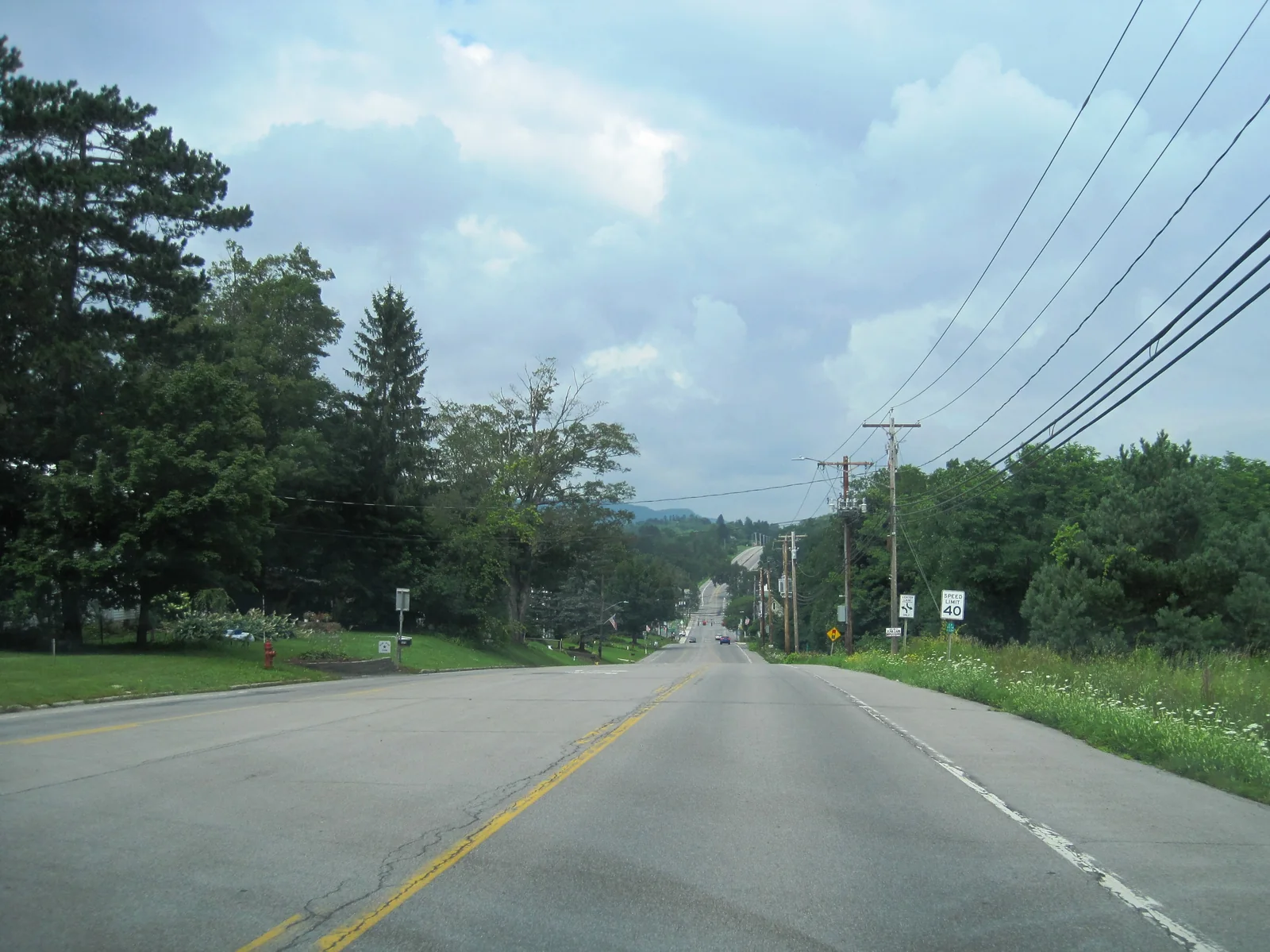
That does not mean every possible Massachusetts side road, district, or local detour is finished. It means the main statewide Route 20 spine is now usable from the New York state line through the Berkshires, the Springfield side, Worcester County, the western Boston suburbs, and the final Boston / Kenmore terminus.
What changed: Massachusetts is no longer just an eastern gateway. It now works as a complete live state layer inside the public Route 20 build.
Why this matters
A finished Massachusetts pass changes the eastern side of the site in a practical way. Instead of stopping at a partial approach, the guide now carries travelers all the way to the official eastern end of U.S. Route 20 in Boston's Kenmore Square. That makes the eastern end of the corridor easier to understand, easier to sequence, and easier to compare against the other live state builds.
What is included now
- the full Massachusetts state gateway
- twelve Massachusetts subregions running from the Berkshires to Boston
- a complete run of live Massachusetts segments from the Berkshire entry to Boston
- place pages that carry the route east through Springfield, Worcester County, the inner suburbs, and the final city approach
- a final Boston / Kenmore weekend layer for people who want the terminus in trip form
How to use the Massachusetts build now
The easiest starting points depend on what kind of trip you are shaping:
- start with Massachusetts if you want the full state sequence first
- use Route Overview if you want to compare Massachusetts against the rest of the live route
- open Boston and Kenmore Final Approach if you specifically want the eastern terminus layer
- use Watertown, Allston, Boston, and Kenmore if you want the final approach in one route section
- use Boston and Kenmore Route 20 Weekend if you want the terminus in a ready-made trip shape
What this changes for the broader site
The live corridor now has a complete eastern state anchor instead of a partial one. That makes the route overview stronger, gives the blog a clearer milestone, and makes it easier to keep future expansion restrained instead of drifting back toward vague corridor sprawl.
Next: start with Massachusetts, open the route overview, or go straight to the Boston / Kenmore final approach.