Build note
Route 20 Road Trip now runs coast to coast
Route 20 Road Trip now carries a live public guide from Newport, Oregon to Boston and Kenmore, with polish and QA continuing while public contribution workflows are being prepared.
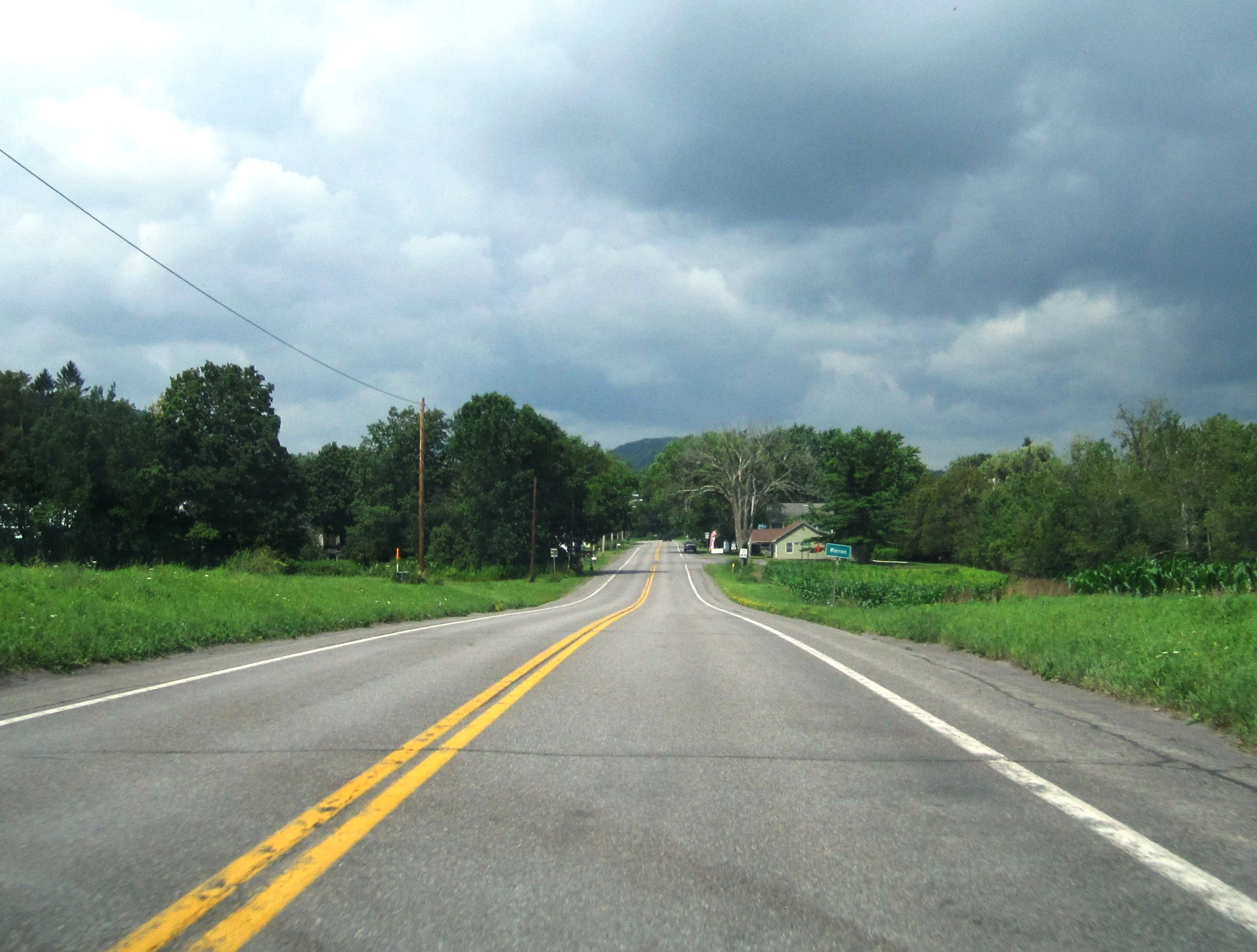

Route 20 Road Trip now runs coast to coast.
That does not mean every local stop, detour, and support page is finished. It means the site now carries a real public Route 20 planning layer from Newport, Oregon to Boston and Kenmore, with live state, segment, place, trip, and overview pages that make the corridor usable in both directions.
What changed: the public guide no longer stops in the middle of the route. Travelers can now move across the site through a full west-to-east corridor, while polish and QA continue on the surfaced pages and support layers.
What is complete now
- a live western chain from Oregon through Idaho, Montana, Wyoming, Nebraska, and Iowa
- a connected mid-route layer through Illinois and Indiana
- an eastern chain through Ohio, New York, Pennsylvania, and Massachusetts
- a route overview that now reads as a true coast-to-coast public guide instead of a partial proof set
- surfaced hubs and search coverage that now reflect the live corridor much more cleanly than the earlier expansion phase
What is still continuing
The work is not stopping because the corridor is now live end to end. The next phase is polish, QA, and consistency work.
- checking search and surfaced discovery so live pages are easy to find
- tightening card continuity, handoffs, and traveler-facing wording on the highest-surface pages
- continuing image and visual QA so newer western pages read as cleanly as the older eastern build
- reviewing support pages and endpoint pages so the corridor feels deliberate instead of merely complete
About Yellowstone and other real route quirks
The guide still keeps real Route 20 discontinuities legible where they matter. Yellowstone is the clearest example. The site now carries the east approach, the park-related gap, and the west re-entry more clearly than before, instead of smoothing that part of the route into something it is not.
Why public contribution is the next big step
The route is too large to treat as a one-time static writing project. What matters now is building a calmer way to keep improving it without turning the site into a sprawl machine.
That is why work is now shifting toward enabling public contribution in a bounded way. The goal is not to let the public write directly onto the live site. The goal is to let outside observations, travel notes, corrections, and local knowledge feed a reviewed workflow that can improve the guide without losing structure.
What that should make possible
- better local detail from people who know a stretch well
- faster correction of stale route notes, closures, and traveler-friction details
- cleaner future expansion into support layers without losing corridor discipline
- a more durable long-route guide that can keep improving after the first coast-to-coast build is complete
Best pages to use now
- start with the route overview if you want the whole corridor first
- open Oregon if you want the Pacific-side start
- open Massachusetts if you want the eastern finish
- use Iowa or Illinois if you want a strong mid-route planning start
- browse the trip pages if you want route-shaped weekends and samplers instead of stitching the pace together yourself
Next: start with the route overview, pick a corridor entry on the state gateways page, or browse the blog for the earlier milestones that led to the full coast-to-coast build.