Route20RoadTrip printable planning library
Free U.S. Route 20 Road Trip PDFs & Printable Planners
Choose a paper-first planning tool for the whole highway, one state, one weekend, one destination, or the stretches where an offline backup makes the trip easier.
Paper for decisions, live pages for conditions. These printables are planning companions, not live road-status sources. Verify hours, roadwork, weather, lodging, seasonal access, park routing, parking, and closures before travel. PDF links open in a new tab so this library stays available while you review them.
Start here
Choose the printable by the trip you are actually planning
You do not need to sort through all 45 files. Start with the planning scale, then move into the matching section.
Plan the whole road
Three starting points for three different planning jobs
The Roadbook is the deepest whole-route reference. The original Tourist Checklist stays the simplest coast-to-coast orientation tool, while the Long Weekend Planner helps shrink Route 20 to one realistic getaway.
Flagship whole-route reference · 30 pages
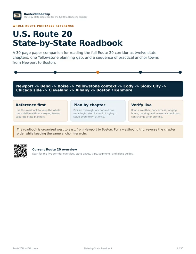
U.S. Route 20 State-by-State Roadbook
Read the Newport-to-Boston corridor as twelve state chapters, one Yellowstone planning gap, and a sequence of practical anchor towns and state-line handoffs.
Best for: multi-state planning and travelers who want one coherent paper reference.
Simple whole-route checklist · 8 pages
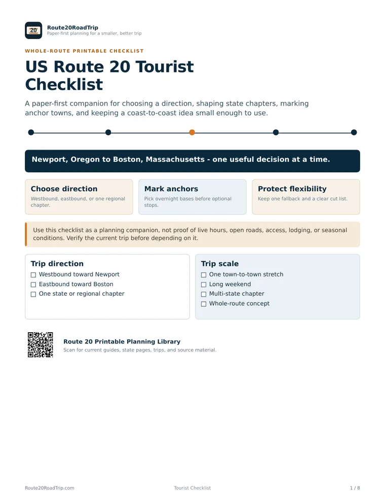
US Route 20 Tourist Checklist
Choose a direction, divide the road into state chapters, mark overnight anchors, and keep the coast-to-coast idea small enough to use.
Best for: first-time Route 20 travelers and a lighter whole-route planning pass.
Regional getaway workbook · 8 pages
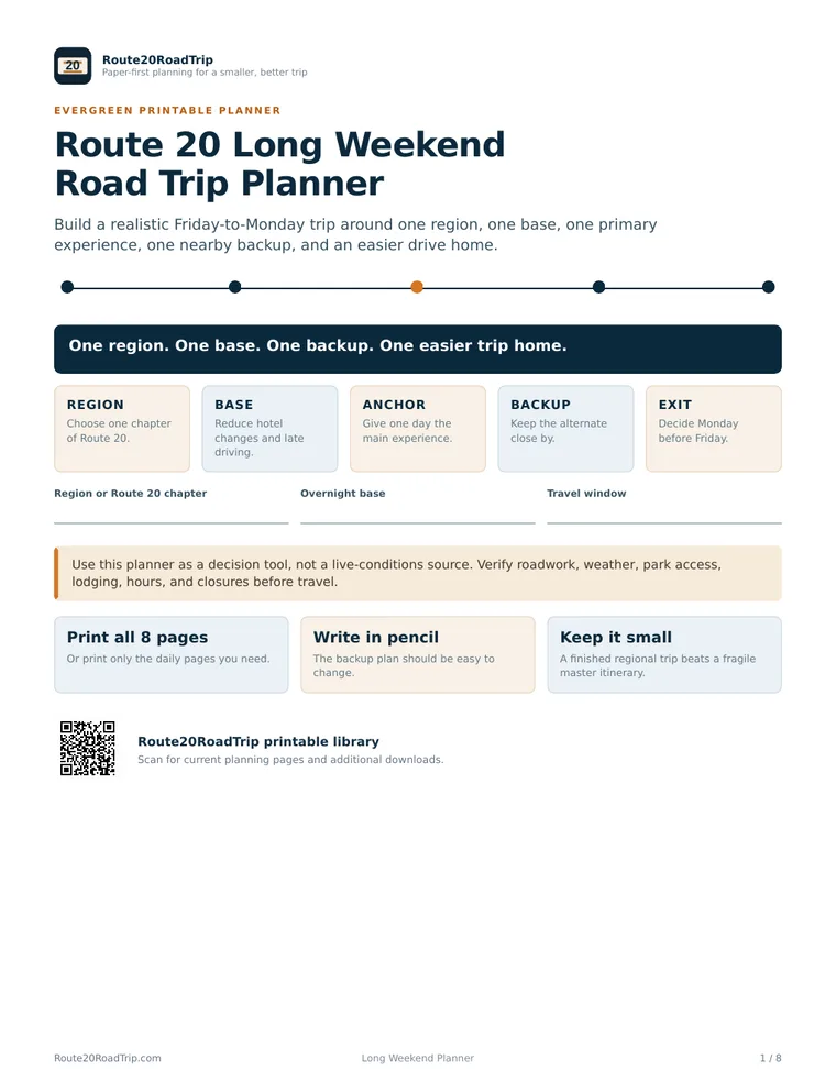
Route 20 Long Weekend Road Trip Planner
Choose one region, one base, one primary experience, one nearby backup, and an easier drive home.
Best for: Friday-through-Monday trips, holiday weekends, and compact Route 20 escapes.
Plan one state
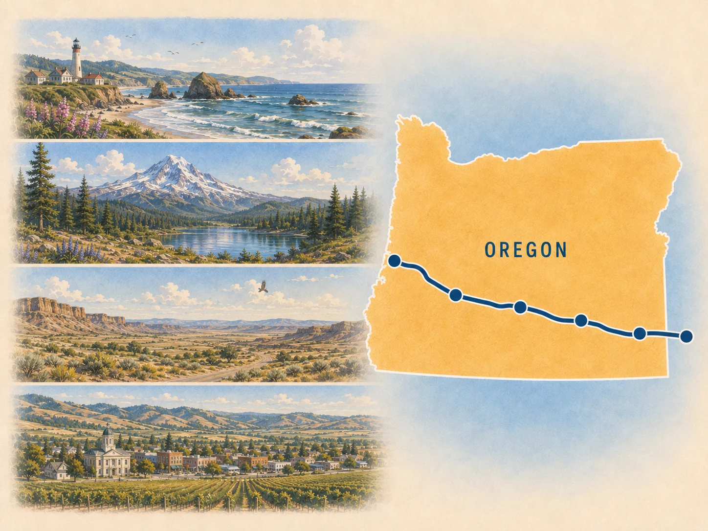
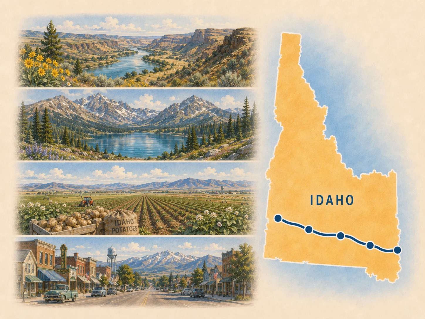
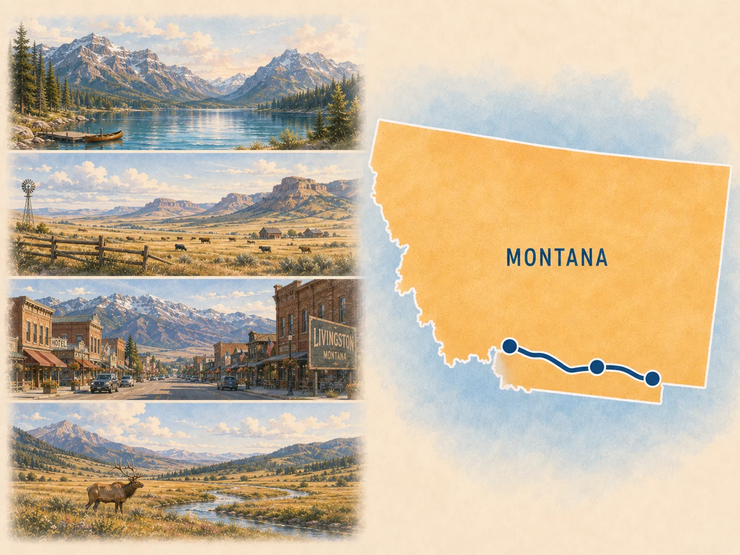
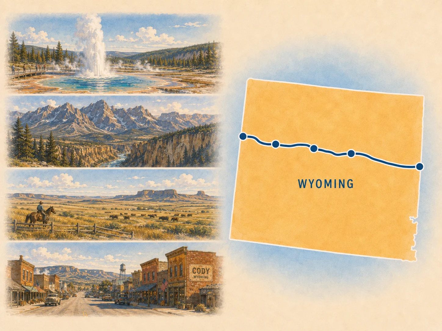
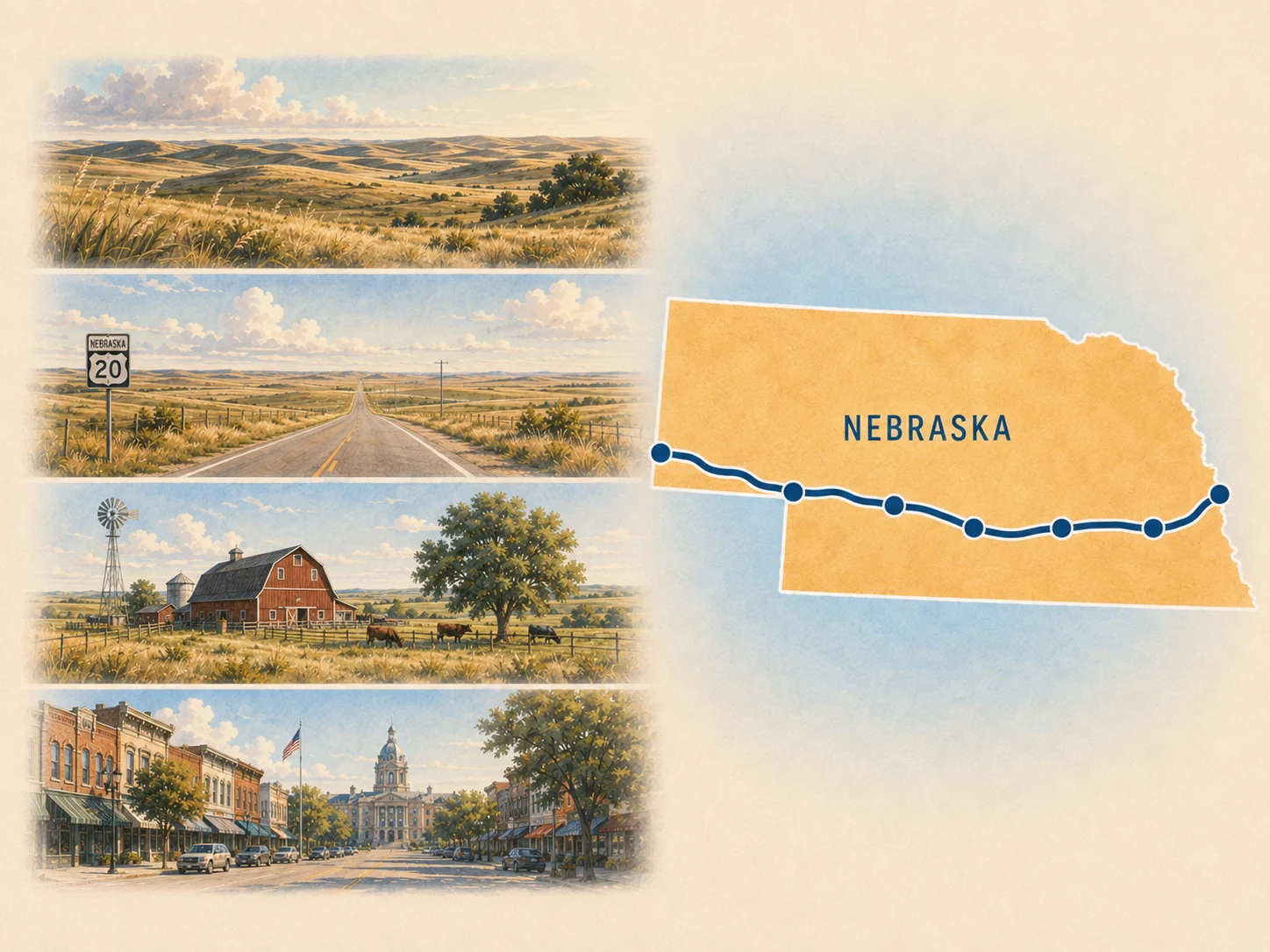
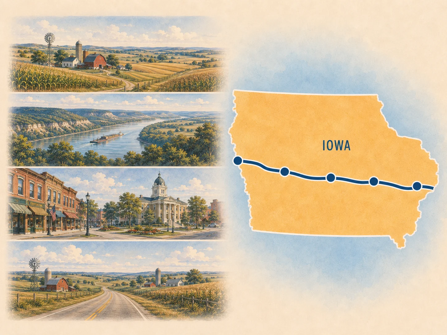
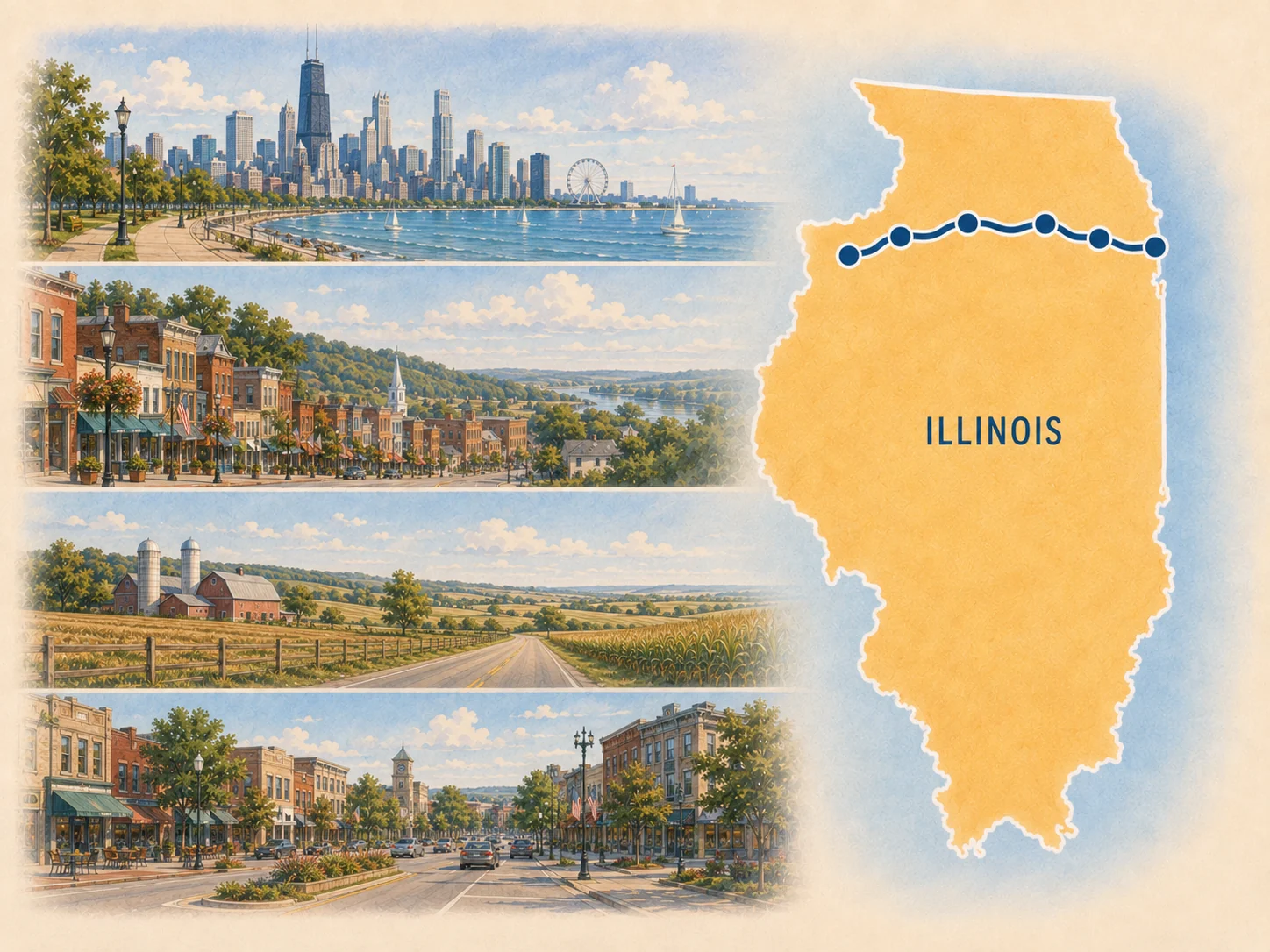
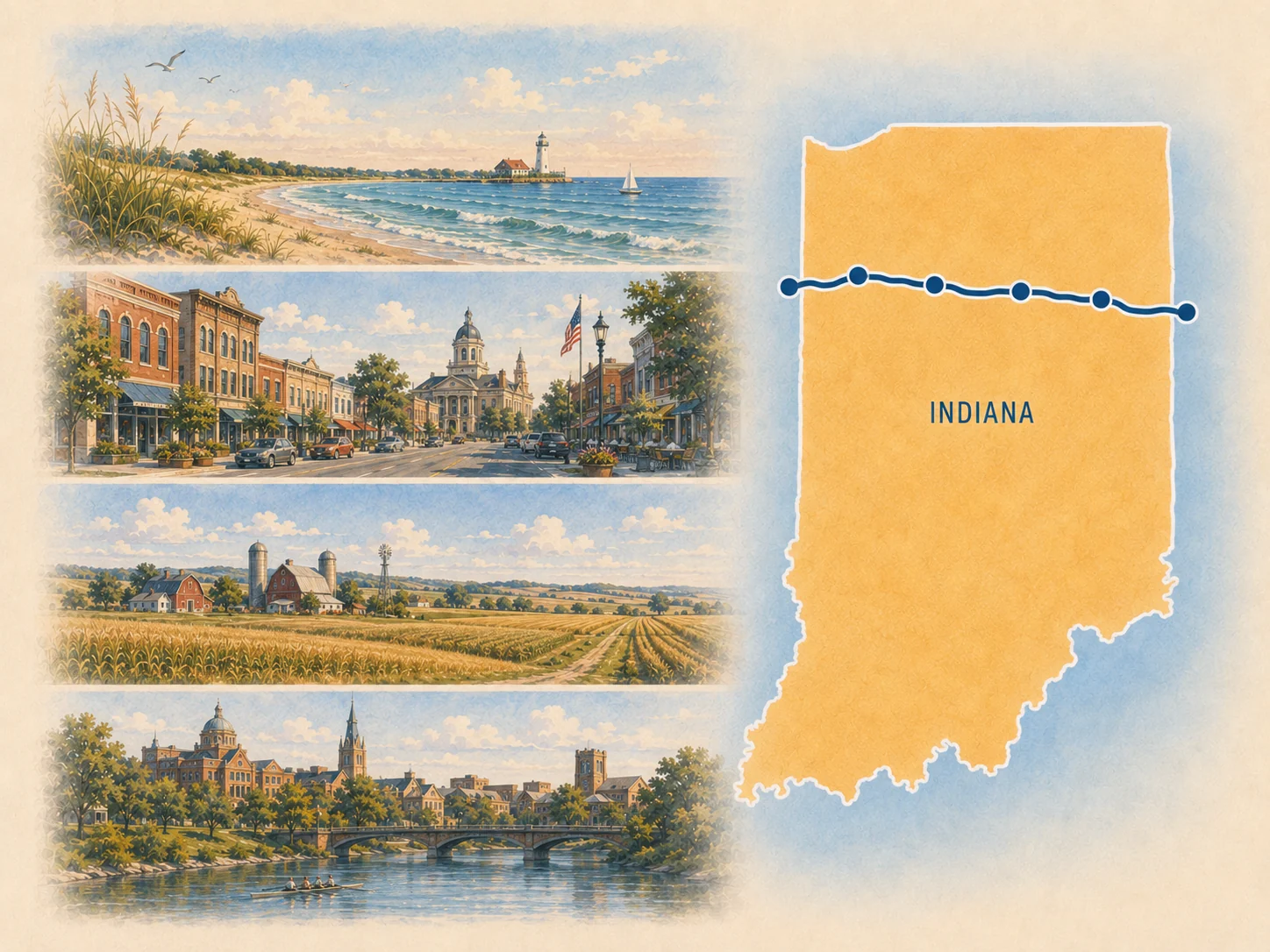
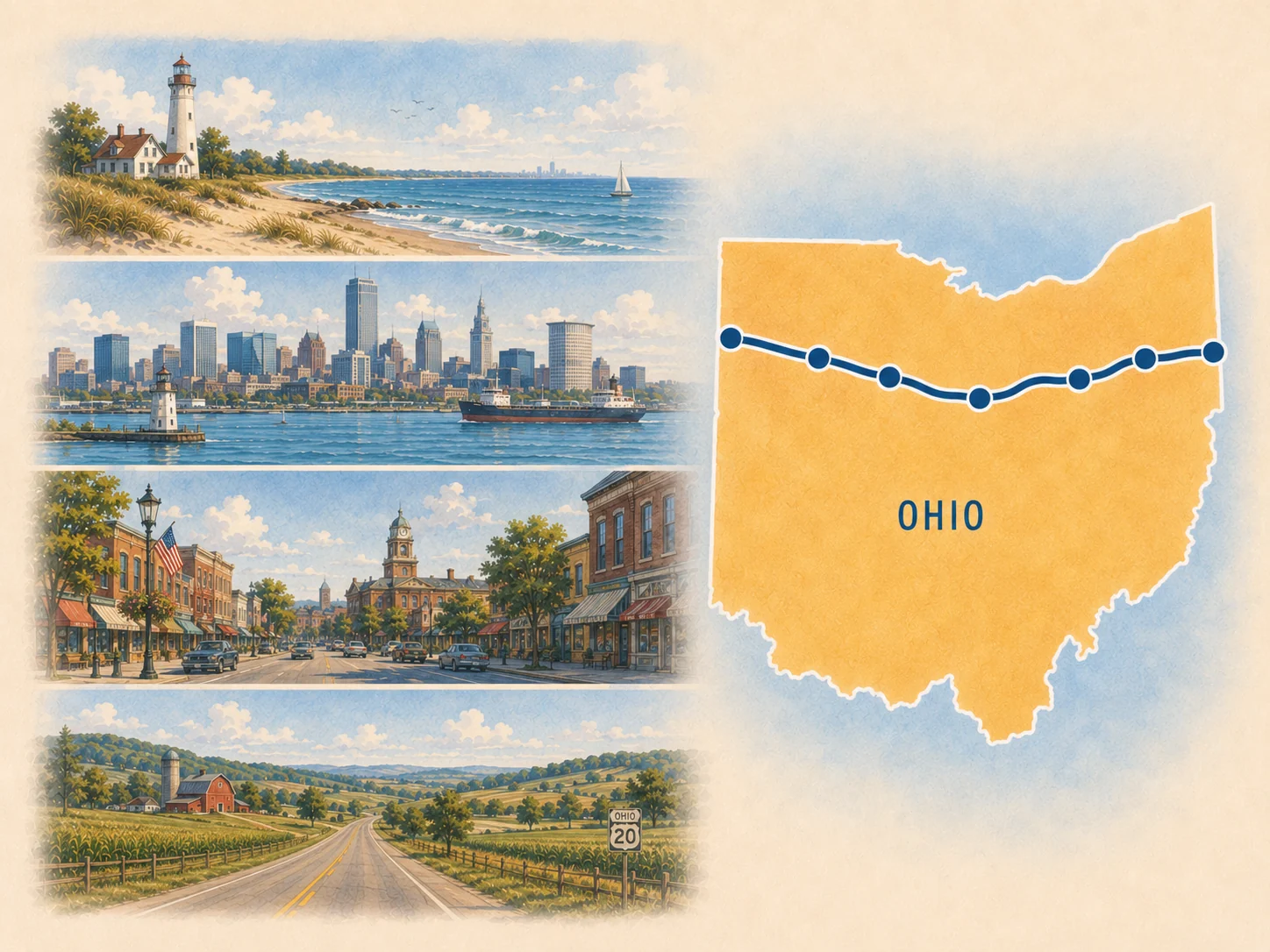
Route 20 state and connector planners, west to east
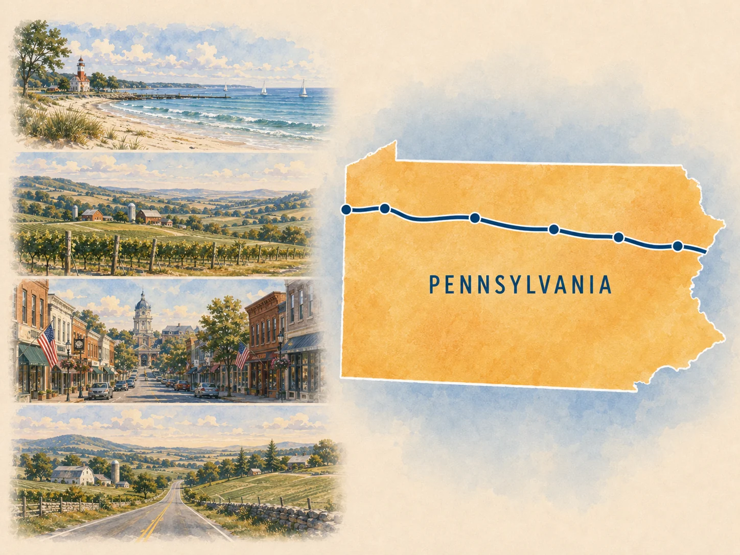
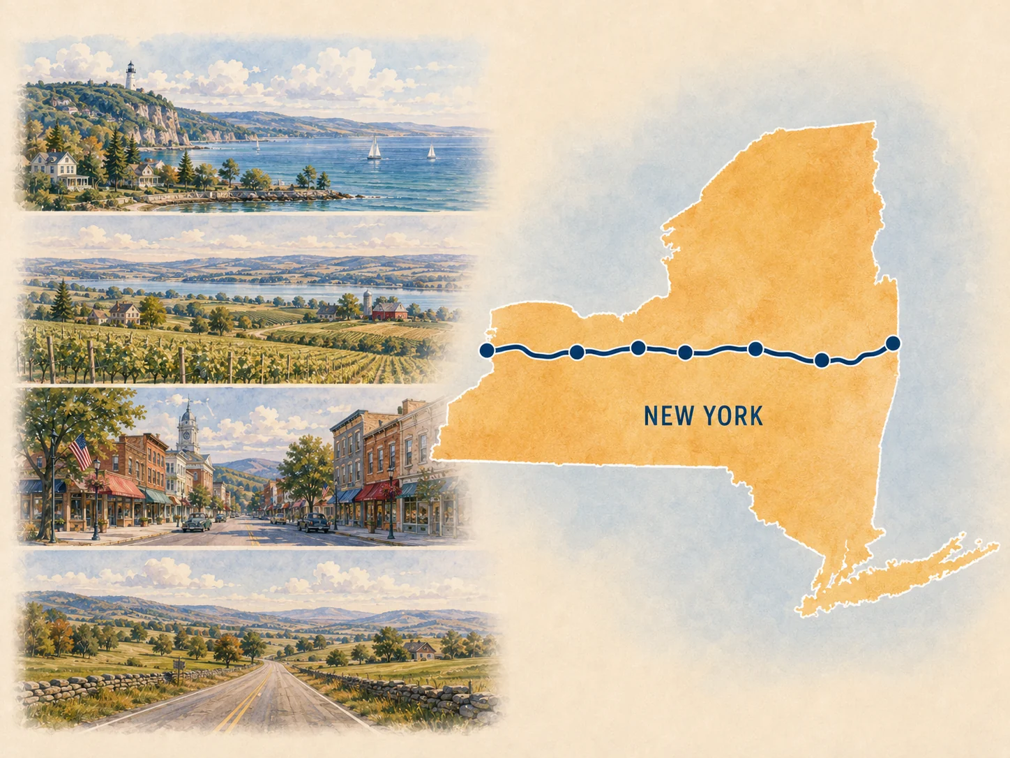
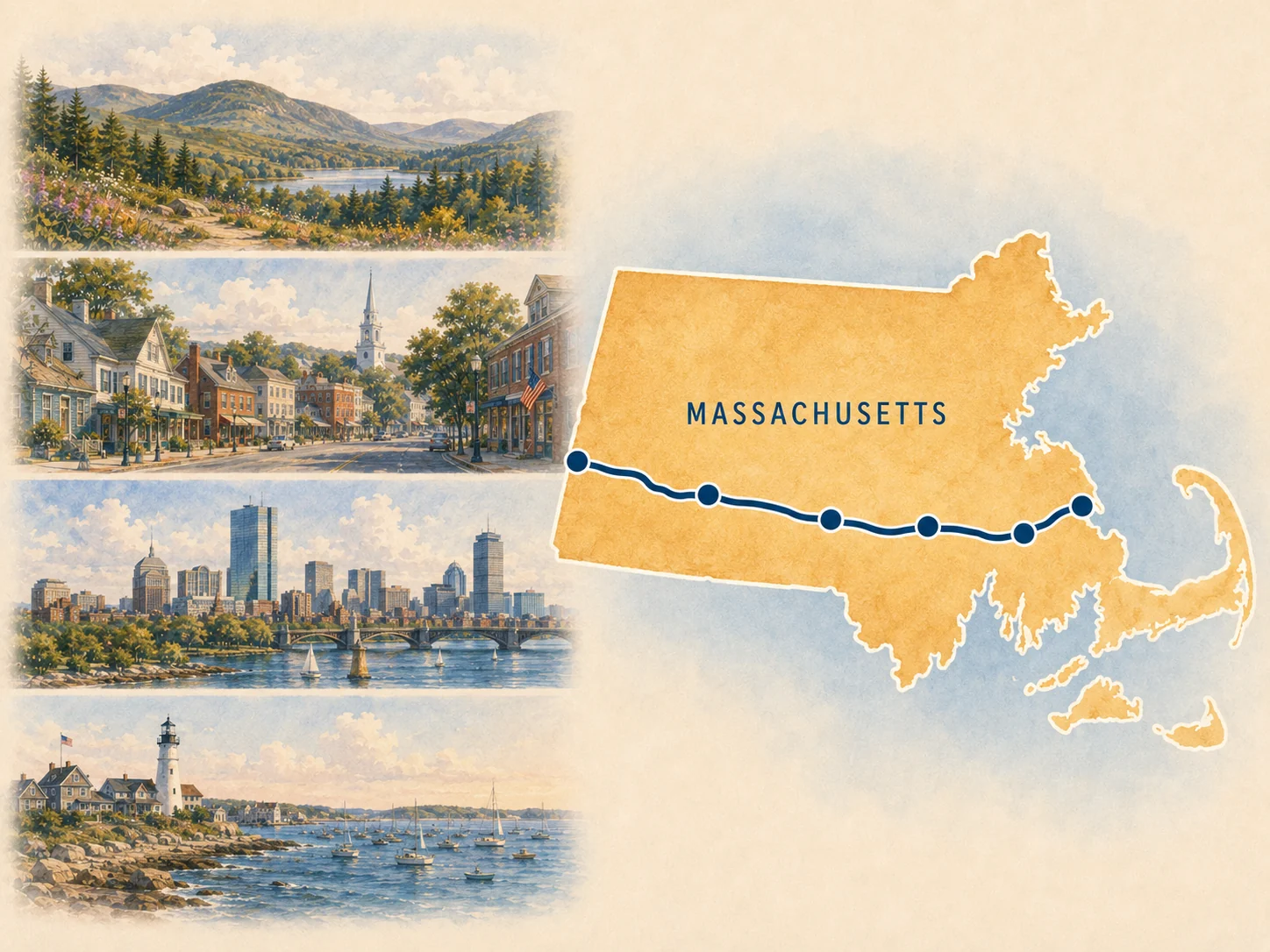
Choose the chapter you are actually driving. Each planner keeps route sequence, anchor roles, realistic trip shapes, and current-condition checks together without asking you to solve the full highway at once.
Take a ready-made trip
18 flagship trip companions
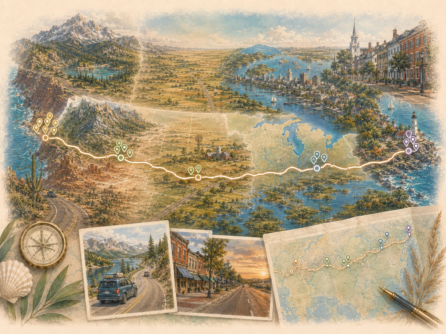
These are compact paper companions to existing Route20RoadTrip itineraries. Choose the corridor that fits your available days, then use the live trip page for deeper context and current planning.
West 7 companions
Heartland 5 companions
East 6 companions
Visiting one Route 20 destination?
First-timer guides for seven anchor stops
Use these when one destination is the trip anchor and the practical question is how to experience it without turning the stop into an overbuilt checklist.
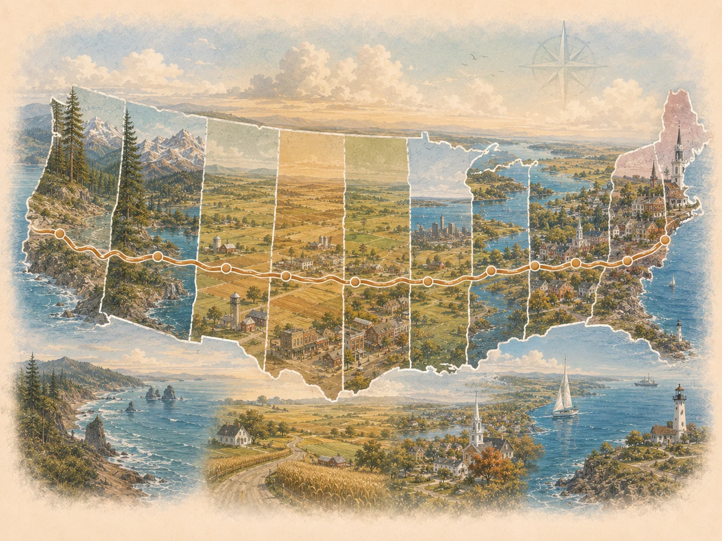
Newport, Oregon
Bend, Oregon
Boise, Idaho
Cody, Wyoming
Galena, Illinois
Cleveland, Ohio
Boston + Kenmore
Tools for the road and the memories afterward
Prepare for weak signal, mark the miles, and keep the story
These are not destination guides. They help with paper backup, personal trip progress, and the notes worth keeping after the drive.
Route 20 Zero-Signal Starter Pack
Pre-write route, lodging, fuel, meal, fallback, and offline-navigation notes before leaving reliable service.
Route 20 Trip Passport
Mark the state chapters you actually drove, record milestone moments, and keep a personal completion record.
Trip Journal + Legacy Snapshot
Record what happened, favorite towns and landscapes, people and meals, route lessons, and the next chapter you want to drive.
1926-2026
Explore the Route 20 Centennial
Use one printable for the highway's history and the other to turn the anniversary into a smaller set of real places and experiences.
US Route 20 Centennial Field Guide
Keep the 1926 designation, original Yellowstone endpoint, later Newport extension, longest-current-highway distinction, and modern Yellowstone planning handoff in one paper reference.
Twenty Route 20 Experiences Checklist
Mark twenty existing Route 20 chapters from Newport to Kenmore Square, then choose the few that fit this trip.
Paper-first workflow
How to use the Route 20 printable library
- Pick the planning scale.Whole road, one state, one corridor, or one destination.
- Choose the printable.Open the PDF in a new tab and print only the pages you need.
- Mark the anchors first.Choose overnight bases and the primary experience before optional stops.
- Protect flexibility.Write down one nearby backup and the first item you are willing to cut.
- Return to the live guide.Use the linked state, trip, place, and planner pages for deeper context.
- Verify current conditions.Check hours, lodging, weather, roadwork, access, parking, and closures before travel.
Paper in hand. Keep planning online.
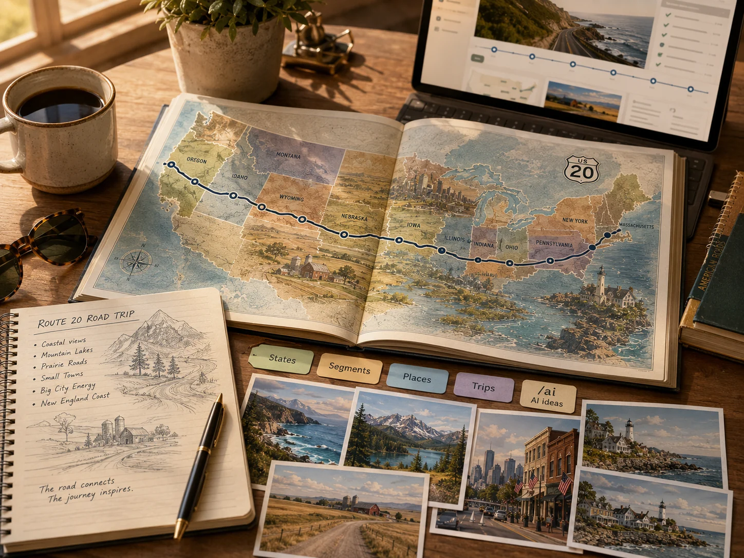
Move from the printable into the live Route 20 guide
The PDFs help narrow decisions. Use the live site when you are ready to research the route, compare places, or build the actual trip.
Printable library FAQ
Common questions before you download
Are the Route20RoadTrip PDFs free?
Yes. This library contains 45 free printable planning PDFs built from reviewed Route20RoadTrip material.
Which Route 20 PDF should I start with?
Use the 30-page State-by-State Roadbook for the deepest whole-route reference, the Tourist Checklist for a simpler first pass, or the Long Weekend Planner when you only want one regional getaway.
Can I use these printables when cell service is weak?
Yes, as paper planning companions. The Zero-Signal Starter Pack is specifically designed to help you write down route, lodging, fuel, meal, fallback, and offline-navigation notes before leaving reliable service.
Does the library include state-by-state Route 20 planning?
Yes. The library includes 12 state and connector planners from Oregon through Massachusetts, including the Montana connector used around the Yellowstone planning handoff.
Do the PDFs replace live road, weather, lodging, or park information?
No. Always verify current hours, roadwork, weather, lodging, seasonal access, park routing, parking, and closures before travel.